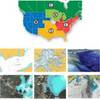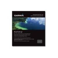
BlueChart g2 - The Netherlands (HEU018R) - Maps
Model: HEU018R Brand: Garmin
BlueChart g2 features crisp labeling and an overall smoother presentation on your chartplotter display. In addition to the basic charts, tidal stations, currents, depth contours, IALA symbols and included fishing charts, BlueChart g2 offers improved transitioning between zoom levels and more seamless continuity across chart boundaries. BlueChart g2 also adds safety shading which allows the user to enable contour shading for all depth contours shallower than the user-defined safe depth. The fishing charts are designed to emphasize bathymetric contours with less visual clutter on the display. « less
Product Specification
-
General
Product Type: MapsDistribution Media: microSD Memory CardBundled with: SD Card adapterFirst Seen On Google Shopping: December 2010 -
Universal Product Identifiers
Part Numbers: 010-C0775-20, The Netherlands (HEU018R)GTIN: 00753759091743
Related Products
-
West Marine Chart Magnifier
-
37636 HotMaps Platinum Multi-Dimensional 3D Lake Maps
-
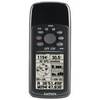
GPS 72H - Marine, hiking GPS receiver - Monochrome - 120 x 160
-
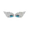
Serial cable - (DB-9) - F - 10 ft - PC
-
Hook & Loop Fastening Cable Ties 13inch, 100pcs/Pack - Black
-
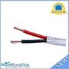
50ft 14AWG CL2 Rated 2-Conductor Loud Speaker Cable (for In-Wall Installation)
-
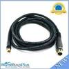
10ft Premier Series XLR Female to RCA Male 16AWG Cable (Gold Plated)
-
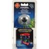
Marina Micro LED Hub
-
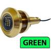
Lumishore Thru Hull Flush Fit 18 Watt Green Underwater Light 41681
-
Cat6a Ethernet Cable | 35ft | Blue | Network | 10 Gigabit
-
VHF55sc VHF Two-way radio
-
n�vi 2350 - Automotive GPS receiver - 4.3" color - 480 x 272 - widescreen