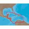
D232 Imray Curacao Marine Nautical Chart
Model: D232 Brand: Weems And Plath
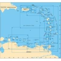
This Imray-Iolaire waterproof chart details the island of Curacao. It includes large scale insets of Willemstad and Schottegat Piscaderabaai Santa Marta Baai and Spaanse Water. This color chart is flat with no folds so is suitable for framing. Dimensions: 25 x 35 1/2 (640 x 900 cm). « less
Product Specification
-
Universal Product Identifiers
Part Number: D232
Related Products
-
NMEA 2000 Micro Cable, 6M, Single Ended
-
GPSMAP 640 - Marine, automotive Chartplotter - 5.2" color - 800 x 480
-
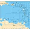
A241 Imray St. Barthelemy Marine Nautical Chart
-
NA-C502 Furuno FP Format Western Caribbean S
-
010-C1020-20 Bluechart G2 HXPC024RAustralia & New Zealand
-
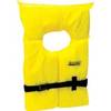
Life Vest Foam Yellow Small
-
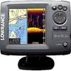
Elite-5 DSi Gold Color DownScan Combo Unit
-
10ft 24AWG Cat5e 350MHz UTP Bare Copper Ethernet Network Cable - Yellow
-
0.5ft 24AWG Cat5e 350MHz UTP Bare Copper Ethernet Network Cable - Gray
-
527ID-IHN M260 In-Hull 1kW Transducer W/No Connector
-
B260-BB 1kW Thru-Hull Transducer Standard 8-Pin Connector
-
VHF 200 25W VHF Radio 010-00755-00