GPSMAP 640 - Marine, automotive Chartplotter - 5.2" color - 800 x 480
Model: 640 Brand: Garmin
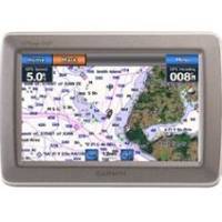
With the Garmin GPSMAP 640, you'll get a full-featured marine chart plotter and an on-the-road navigator. The GPSMAP 640 comes standard with a high-sensitivity GPS receiver and brilliant, high-resolution touch screen display so you'll always know the way whether you're on land or at sea. « less
Product Specification
-
General
Product Type: ChartplotterRecommended Use: Marine, automotivePreloaded Maps: Canada, USA, Puerto RicoCard Reader: SD Memory CardInterface: NMEA 0183Voice: Voice command recognitionIncluded Software: Garmin Worldwide Marine Basemap, Garmin City Navigator North America NTCompatible Software: BlueChart g2 VisionAntenna: Built-inFeatures: Alarm, 2D / 3D map perspective, XM weather support, custom POIsFirst Seen On Google Shopping: October 2008 -
Display
Type: LCD - color - touch screenDiagonal Size: 5.2"Resolution: 800 x 480 -
Navigation
Waypoints: 1500Tracks: 20Tracklog Points: 10000Routes: 50Trip Computer: Sun/moon positions -
Connections
Interfaces: Antenna Headphones / line-out -
Battery
Type: Lithium ionRun Time (Up To): 9 hours -
Miscellaneous
Protection: WaterproofWaterproof Standard: IPX7Included Accessories: Protective cover, AC power adapter, power/data cable, marine mount, USB cable -
Dimensions & Weight
Width: 5.9 inDepth: 1.9 inHeight: 4 inWeight: 17.3 oz -
Universal Product Identifiers
Part Numbers: 010-00696-40, 640GTIN: 00753759083557
Related Products
-
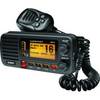
UM415BK Oceanus D Marine Radio (Black)
-
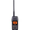
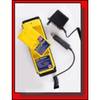
HX300 Handheld VHF Radio with USB Charger
-
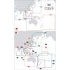
Max Chart for New Zealand in SD Format, M-AU-M001
-
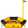
Throw Water Activated Rescue Platform
-
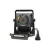
ICE 35 - Fishfinder - portable - included transducer : XI 9 19 - dual-beam
-
1067 Replacement Nicad Battery for 2726 and 2727
-
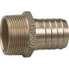
0076010PLB 2 1/2 Pipe to Hose Adapter
-
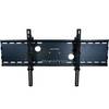
Adjustable Tilting Wall Mount Bracket for LCD LED Plasma
-
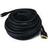
50ft 22AWG CL2 Standard HDMI to DVI Adapter Cable - Black
-
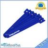
Hook & Loop Fastening Cable Ties 6inch, 100pcs/Pack - Blue
-
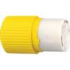
HBL328DCC 30amp 28V DC Yellow Locking Connector Body - Female
-
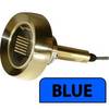
Lumishore Thru-Hull Underwater Light - Blue - 120W