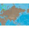
MapSource BlueChart - Adriatic Sea, South Coast - Maps
Model: Brand: Garmin
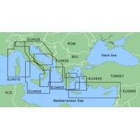
MapSource BlueChart is Garmin's exclusive marine cartography and was developed to provide you with mapping flexibility and options you've never had before. This line of cartography products is designed to provide interactive viewing of detailed nautical chart data, thereby providing navigators with innovative object-oriented cartography. These detailed electronic nautical charts look just like paper charts when displayed on your Garmin chartplotter. Features include shading between depth contours, spot soundings, navaids, port plans, wrecks, obstructions, inter-tidal zones, and more. BlueChart offers much larger coverage areas for half the price. MapSource BlueChart Adriatic Sea, South Coast provides detailed coverage of Italian coast from Porto Civitanova to extend south to Siracusa, Sicilia. From Split, Croatia to Killini, Greece. « less
Product Specification
-
General
Product Type: MapsDistribution Media: microSD Memory CardFirst Seen On Google Shopping: January 2006 -
Compatibility Information
Designed For: Garmin eTrex Legend Cx, Vista Cx Garmin GPSMAP 60CSx, 60Cx, 76CSx, 76Cx -
Universal Product Identifiers
Part Numbers: 010-C0440-00, Adriatic Sea, South Coast
Related Products
-
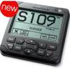
AP2402 Autopilot AP24,AC42,RC42,RF300 No Drive
-
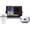
000-10345-002 - NSE12 Navigation Pack w/ 3G Radar
-
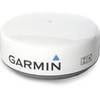
0100057203: GMR 24in HD Marine Radar Dome
-
Active Pass,Porlier Pass/et Montague Harbour Chart
-
RS-C208 C-Card Format - Barents Sea West Fishing
-
SP110RF-9 SP-110 System w/Rudder Feedback & Mechanical Remote D
-
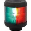
Navigation Light Bi Color
-
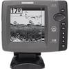
700 Series 728 - Fishfinder - included transducer : XNT-9-20-T - dual-beam
-
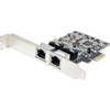
Pcie 2X RJ45 1000-Base T Gigabit Ethernet Card, Realtek Chipset
-
WS-CC15 NMEA Combination Cable 15m
-
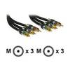
Cable Showcase Premium Grade 24K - Video cable - Male RCA to M RCA
-
GC10 Standard Image NTSC Marine Camera