MapSource BlueChart - Southern Bahamas - Maps
Model: Brand: Garmin
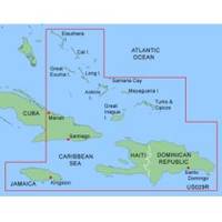
MapSource BlueChart is Garmin's exclusive marine cartography and was developed to provide you with mapping flexibility and options you've never had before. This line of cartography products is designed to provide interactive viewing of detailed nautical chart data, thereby providing navigators with innovative object-oriented cartography. These detailed electronic nautical charts look just like paper charts when displayed on your Garmin chartplotter. Features include shading between depth contours, spot soundings, navaids, port plans, wrecks, obstructions, inter-tidal zones, and more. BlueChart offers much larger coverage areas for half the price. MapSource BlueChart Southern Bahamas provides detailed coverage from Eleuthera Island, Bahamas to the Dominican Republic, including the Bahamian islands of Great Exuma, Great Inagua, Mayaguana, and many others. It also includes detailed coverage of the Jamaican, Haitian, and Dominican coasts in their entirety, the easternmost quarter of Cuba, and the Turks and Caicos Islands, featuring data from explorer charts for the Bahamas. « less
Product Specification
-
General
Product Type: MapsDistribution Media: Garmin Data CardFirst Seen On Google Shopping: January 2006 -
Compatibility Information
Designed For: Garmin GPSMap 172C, 176, 176C, 178C, 178C Sounder, 182, 182C, 188 Sounder, 188C Sounder, 196, 2006, 2006C, 2010, 2010C, 2106C, 2110C, 2206C, 2210C, 232, 238 Sounder, 276C, 292C, 296, 298C, 3006C, 3010c, 3205C, 3206C, 3210C, 376C, 392C, 396C, 492C, 498C -
Universal Product Identifiers
Part Numbers: 010-C0043-00, Southern BahamasGTIN: 00753759040093
Related Products
-
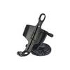
Marine Mount - GPS receiver mount bracket
-
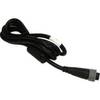
04-4006-000 Power I/O Cable f/Chart Master 11 & V6 Series
-
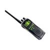
ATLANTIS 250 VHF Two-way radio
-
5465 Ceiling Bracket for 30inch Above TV - Black
-
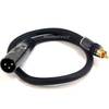
1.5ft Premier Series XLR Male to RCA Male 16AWG Cable (Gold
-
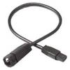
760020-1 ad 926 Transducer Adapter Cable-7-pin
-
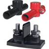
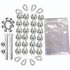
Power Post Dual 2 x 3/8 in. Studs
-
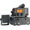
M802 Marine SSB Radio Clear / Ice / Red / Tan
-
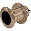
B117-DO-2 600W Thru Hull Transducer Autohelm 2-Pin Connector
-
Whisper 30' Guyed Tower Kit (Whi100/Whi200) (does Not Include Pipe & Anchors)
-
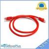
3ft 24AWG Cat6 550mhz UTP Ethernet Bare Copper Network Cable - Red
-
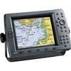
GPSMAP 2210 - Marine GPS receiver