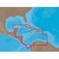
NA-C502 Furuno FP Format Western Caribbean S
Model: NA-C502 Brand: C-Map
NA-M320 => Passamaquoddy Bay to Cape LookoutCoverage includes offshore bathymetric details from Passamaquoddy Bay, ME to Cape Lookout, NC. Coverage extends from the coastline out to the Atlantic Canyons - Hudson, Baltimore, Oceanographer and others. Fishing Contour Charts do not include coastal navigational features and are recommended for offshore fishing only. « less
Product Specification
-
Universal Product Identifiers
Part Numbers: 20172, 31356, CMANAC502FP, NA-C502, NA-C502FURUNOFP, NA-M320-SD, NA-M320SDCARDGTIN: 00686074003835
Related Products
-
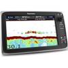
T70037 C127 Multifunction Display W Sonar - US Inland Chart
-
T-940-4 8.4 Inch LCD Display 4KW 48NM Radar with 4.5' Open Array and 10 Meter Cable 33603
-
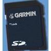
UK/IRE Marine Detail Map G2 Update SD Card
-
The nautical chart [Book]
-
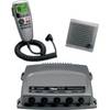
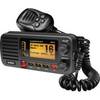
010-00756-00 VHF 300 Marine Radio
-
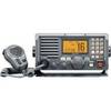
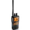
M604 Grey VHF Radio
-
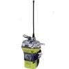
2848 Globalfix iPro Cat II EPIRB with GPS (Manual Activation)
-
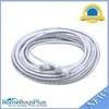
50ft 24AWG Cat6 550mhz UTP Ethernet Bare Copper Network Cable - White
-
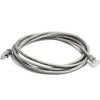
7ft 24AWG Cat5e 350MHz UTP Bare Copper Ethernet Network Cable - Gray
-
um415 Oceanus D Marine Radio (Black)
-
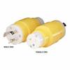
81A 15/20A Straight Blade to 30A Locking Adapter
-
Marine Radio Two Way VHF