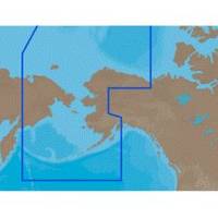
NA-C804 Furuno FP Format Northern Alaska
Model: NA-C804 Brand: C-Map
With are Electronic Sharts C-Maps we have: Olympia, Washington to Port Mcneill, British Columbia. Nannose to Victoria to Cape Scott Texada Island to Caamano Sound Cape Caution to Portland Canal Banks Island, British Columbia to Sumner Strait, Alaska Dixon Entrance to Icy Bay Gulf of Alaska Western Alaska NA-C804 Western Alaska NT+ Cartography NT+ electronic charts feature much wider coverage areas at substantially lower prices. « less
Product Specification
-
Universal Product Identifiers
Part Numbers: 20186, NA-C804FURUNOFP
Related Products
-
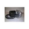
Dashboard Autopilot Drives for Cable Steering 12V 29010002
-
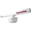
RA1072HD 4KW 72" HD Digital Open Array Radar 32250
-
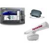
Package(C120W, DSM300G Sounder, RA1048D 4KW 48 Inch HD Digital Open Array Radar & 15m Radar Cable)
-
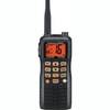
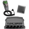
HX 750S Handheld VHF Marine Radio
-
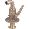
0835005PLB 3/4 Seacock w/Straight Tail
-
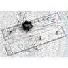
90 Marine Navigation ParaLock Plotter
-
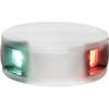
LED Bicolor Light White 12V
-
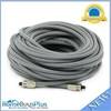
75ft Premium Optical Toslink Cable w/ Metal Fancy Connector
-
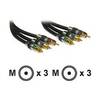
Cable Showcase Premium Grade 24K - Video cable - Male RCA to M RCA
-
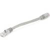
0.5ft 24AWG Cat5e 350MHz UTP Bare Copper Ethernet Network Cable - Gray
-
0100075700 VHF 300 AIS
-
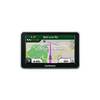
n�vi 2350 - Automotive GPS receiver - 4.3" color - 480 x 272 - widescreen