NA-M027 SD Card Format Central America & Car
Model: NA-M027 Brand: C-Map
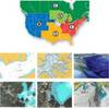
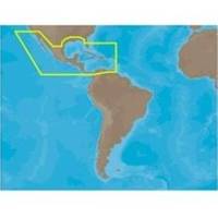
NA-M027 => Central America and CaribbeanCoverage of Central America, all of the Caribbean and the northern coast of South America, and the Gulf of Mexico. Coverage of the Pacific coast starts at Point Conception, CA and runs down to Bahia Cupica, Colombia. Coverage of the United States starts in Cumberland Sound, GA and runs down around Florida and over to Brownsville, TX. Bahamas, Turks and Caicos and all islands of the Caribbean are included. South American coverage includes the northern coasts of Colombia and Venezuela over to Rio Orinoco, including Trinidad and Tobago. Caribbean coverage includes charts from Explorer Chartbooks and Wavey Line Publising. « less
Product Specification
-
Universal Product Identifiers
Part Numbers: 30146, M-NA-M027, NA-M027-SD, NA-M027 SD CARDGTIN: 00686074002807
Related Products
-
DVD - Raymarine E Series E80 E120 Sonar, N7801DVD
-
CANNON 408560-1 21" Radar 4KW 24 rpm
-
37637 HotMaps Platinum Multi-Dimensional 3D Lake Maps
-
2883 ACR SARLink 406 GPS PLB
-
4KW 24in Radome No Cable E52080
-
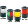
Navigation Light Sern #0200SNTDP1
-
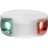
LED Bicolor Light White 12V
-
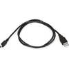
3ft USB A to Mini-B 5pin 28/28AWG Cable
-
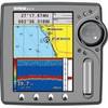
EC5EF 5 Inch GPS Chartplotter Fishfinder Combo External Antenna
-
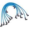
Marine Products Plug Wire Set 9-28015
-
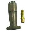
18-8083 3/8 in. Fuel Connector
-
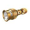
BNC-Cp/Gs-02 Connector for RG-8X Cable