NaM024 CCard Format u.s.west Coast and Hawaii
Model: NaM024 Brand: C-Map
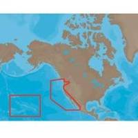
NA-M024 > USA West Coast and HawaiiCoverage of the Pacific Coast of the United States, including all of the coasts of California, Oregon and Washington. Coverage of Baja California and Mexico down to Puerto Vallarta. Detail of the Columbia River, Sacramento River, Willamette River. Snake River and San Joaquin Rivers are also included. Full coverage of Puget Sound and the San Juan Islands up to Point Roberts is also included. Additional coverage of the Hawaiian Islands out to Midway and Johnston Atoll is also included. « less
Product Specification
-
Universal Product Identifiers
Part Numbers: 30132, CMANAM024CCARD, NA-M024, NA-M024-C, NA-M024C-CARDGTIN: 000000165838, 00686074002753
Related Products
-
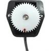
OC15SUK27E Rudder Feed Back Potentiometer Module - Garmin, Fur
-
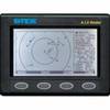
AIS Radar with 5 in Display Requires VHF Ant
-
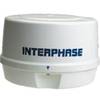
Mini RE-1 Radar engine 2KW 24km 11" Dome (No Display Included)
-
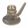
Seacock Body, 3/4 Inch Pipe Size 0805005PLB
-
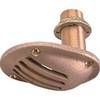
1.25" Intake Strainer
-
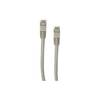
Patch cable - CAT 5e - RJ-45 - M - Shielded twisted pair (STP) 100 ft - Gray
-
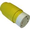
30F1 30 Amp - 125VAC Female Connector
-
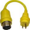
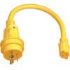
30 Amp to 20 Amp, 125 Volt Straight Adapter, Yellow A3020S
-
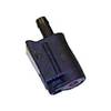
105SPP Pigtail Adapter 15A Straight Blade to 30A
-
18 8091 Fuel Connector
-
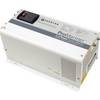
Inverter / Charger with Pure Sine Wave Technology
-
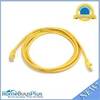
YETP5E-7 7ft 24AWG Cat5e 350MHz UTP Bare Copper Ethernet Network Cable - Yellow