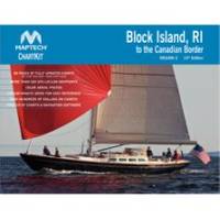
PAPR03; Region 3 Paper Chart Kit
Model: PAPR03 Brand: Maptech
ChartKits are full-color reproductions of U.S. government and private charts spiral bound into popular cruising regions with aerial photos, pre-plotted courses and more. The convenient-sized books are large enough to allow for manual plotting, yet small enough to sit on your nav-station or lap. Waterproof covers are available. « less
Product Specification
-
Universal Product Identifiers
Part Number: PAPR03
Related Products
-
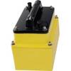
Pump LA17-12 12V Type 2 Linear Drive Unit
-
086 Chart Holder
-
Max PC-M203 W69 Carolinas,Kiribati, Marshall-MAX
-
Max Wide International cwidei
-
010-C0773-20 Bluechart G2 HXEU015RAegean Sea & Sea of Marmara
-
M504 Black VHF Radio with Hailer M504A 61
-
ZDIGAISNET AISnet AIS Base Station
-
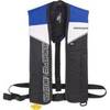
Sospenders 1271 24G Manual Inflatable Vest - Blue
-
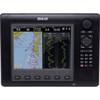
Zeus Sailing Navigation System - 8 in Display 000-10239-001 c43561
-
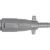
Marine -033485-10 Fuel CONN-FEMALE Mer (240090)
-
527ID-IHN M260 In-Hull 1kW Transducer W/No Connector
-
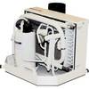
FCF-12000 Feel Cool Fast Marine Air Conditioner by Webasto