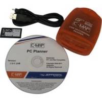
PCPLANNER2 PC Planner - NT+/MAX 2MB
Model: PCPLANNER2 Brand: C-Map
PC-Planner Turn your PC into a virtual chart plotter, while using your actual C-Map electronic chart in the process. Now use PC-Planner to access all of the functions normally found in your chart plotter. With PC-Planner you can view actual chart data, create and change routes, accurately measure distances, and add and edit waypoints and marks. Easily transfer your trip plans to a C-Map Memory Card, plug it into your chart plotter, and load your routes on the spot. This means can get on your boat; turn on your chart plotter; load your trip data; turn on your engine and you're off. Use the same C-Map chart you use in your chart plotter and your PC will mirror the detail you see onboard your boat. Access all of the planning data that C-Map charts offer, including: [+] Coastal Navigation Data [+] Depth Contour Data [+] Spot Soundings [+] Port Information [+] Marina Information [+] Tide Data> « less
Product Specification
-
Universal Product Identifiers
Part Numbers: 15847, PCPLANNER2GTIN: 000000158473, 158473
Related Products
-
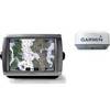
Radar 5212 Package with GMR18 4KW Radome
-
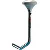
SC111 PowerTower Starboard Mounted Bar for Light, GPS, VHF
-
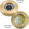
Chart Weight, Compass, Brass
-
XGPS150 - Marine, hiking, automotive, cycle, golf, running GPS receiver
-
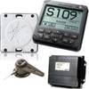
AP2401 Autopilot System AP24 AC12 RC42 RF300 No Drive
-
409030-1 386ci Combo
-
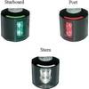
Series 43 LED Navigation Lights, Ser 43 White LED Nav Light Strbd
-
70M Double Stern Nav Light
-
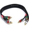
1.5ft 18AWG CL2 Premium 5-rca Component Video/audio Coaxial Cable (RG-6/U) - Black
-
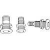
Th-752Xl-B Thru Hull 3/4" White 2-1/2" Hull
-
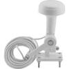
Tram 1655 8-ft Marine GPS Antenna
-
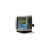
GPSMAP 535s GPS Marine Chartplotter & Sounder w/ Dual Beam Transducer