Plans - Saltspring Island Chart
Model: Brand: Plans - Saltspring Island Chart
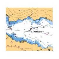
3478; Canadian charts of the Pacific region Encompasses the Strait of Georgia - Canada Note: Ensure that your charts are kept current to reflect changes to that area
Product Specification
-
Universal Product Identifiers
Part Number: 3478
Related Products
-
AP35-5 Autopilot with AP35, J300X, Rudder Feedback RF300, RPU-80 Drive Unit (for Hydraulic Steering) sap35-5
-
HK Tel 8ft Adjustable Boat Hooks 4132
-
DRS4A - Digital Radar 4kW 48NM 3.5' Oa 15m Cable
-
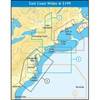
NA-C303 Shinnecock Bay to ALBENARLE Sound
-
EPIRB Programming Service for International Use Only
-
Nautico NT3VP VHF 88-channel Two-way radio
-
Paper Chart Kit Book REGION12 Southern & Central CA
-
Bronze Seacock, 1 1/4 Inch Adapter, Straight 0835007PLB
-
Classic Navigation Light, Streaming/Foredeck Combo
-
15ft USB 2.0 A Male to Micro 5pin Male 28/24AWG Cable w/ Ferrite Core (Gold Plated)
-
A62246 - Seatalk Hs Dual End Network Cable 15m
-
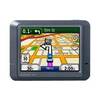
n�vi 275T - Automotive GPS receiver - 3.5" color - 320 x 240