010-C0759-10 Bluechart G2 HAW451SRed Sea Data Card
Model: 010-C0759-10 Brand: Garmin
HAW451S Covers: Coverage of the Red Sea and Gulf of Aden in their entirety, as well as the Indian Ocean including portions of the coasts of Somalia and Oman. Also includes coverage of the Mediterranean Sea from Beirut, Leb. to Alexandria Egy., including the Suez Canal and Gulf of Aqaba. Included in this overall general coverage are numerous detailed charts covering areas such as Jiddah, Sau., Djibouti, Dji., and Aden, Yem. « less
Product Specification
-
Universal Product Identifiers
Part Numbers: 010-C0759-10, 10804722, 35591GTIN: 00753759091415
Related Products
-
C97 Multifunction 9" Display with Sonar - US Inland Charts T70027 c44325
-
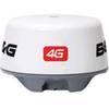
4G Broadband Radar
-
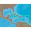
NA-C501 Furuno FP Format Cuba - Trinidad & T
-
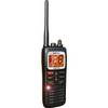
DE6141 Floating Marine Handheld vhfradio
-
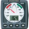
FI501 Wind Instrument Display - Head Only
-
Cat6a Ethernet Cable | 2ft | Gray | Network | 10 Gigabit
-
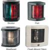
Marine 3562 Series Navigation Lights Flush Mount Stern (White
-
Cat5e 10/100Base-T Ethernet Patch Cable RJ-45 2151
-
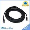
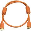
3ft 28AWG High Speed HDMI Cable w/Ferrite cores - Orange
-
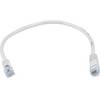
1ft 24AWG Cat5e 350MHz UTP Bare Copper Ethernet Network Cable - White
-
lian i3 System Dish Network w/Multi-Satellite Interface & Dish
-
0100075700 VHF 300 AIS