3206 Lake Mohave
Model: 3206 Brand: Fish-n-Map
FISH-N-MAP UNDERWATER TOPOGRAPHY MAPSMade of waterproof, tear resistant plastic. Features include: underwater depth contours, fish locations, latitude and longitude for GPS, multiple freshwater lakes on one map, boat ramps, recreational facilities and much more.
Product Specification
-
Universal Product Identifiers
Part Numbers: 032065, 249956, 3206GTIN: 00761428032065
Related Products
-
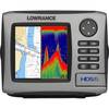
HDS-5 Multifunction Fishfinder/Chartplotter w/o Transdu 34246
-
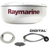
T92182 RD424D 4KW 24 in Dome with Cable
-
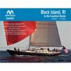
PAPR08; Region 8 Paper Chart Kit
-
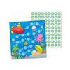
Cd-148012 Sea Life Mini Incentive Charts
-
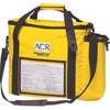
2273 ACR Rapidditch,#153 Express Bag - Bouyant Abandon Ship Survival G
-
AP2401VRF Autopilot AP24,AC12,RC42 No Drive Unit
-
Cat6a Ethernet Cable | 15ft | Yellow | Network | 10 Gigabit
-
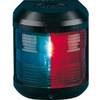
Navigation Light for Bulk Head mounting, Port
-
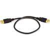
1.5ft USB 2.0 A Male to A Male 28/24AWG Cable (Gold Plated)
-
Articulating All Round Pole Light, 48 Inch
-
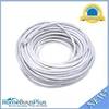
100ft 24AWG Cat6 550mhz UTP Ethernet Bare Copper Network
-
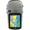
eTrex Vista HCx - Hiking GPS receiver - Color - 176 x 220