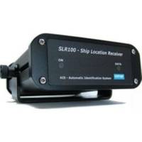
AIS Dual Synthesised Rcvr w/GPS SLR-200G
Model: SLR-200G Brand: Milltech Marine
Connected to a PC, via a serial port, running a compatible Navigation Program, or a dedicated Marine Chart Plotter, via the NMEA output, collision avoidance information can be displayed on screen giving the operator a visual interpretation of the name, position, course and speed of AIS transmitting vessels within VHF range. Any NMEA input data at 4800 Baud can be connected into the unit, this is combined with the AIS data and will be output at 4800 or 38.4K, avoiding the requirement of installing an external multiplexer. « less
Product Specification
-
Universal Product Identifiers
Part Number: SLR-200G
Related Products
-
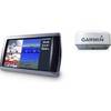
T908 Active GPS Sensor
-
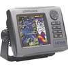
99-001 Hds5i-bndl, Hds-5, Fishfinder
-
385cxi Fishfinder GPS Combo - International Unit
-
Radar 5015 Package with GMR18 4KW Radome
-
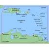
MapSource BlueChart - Southeast Caribbean - Maps
-
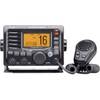
M504 Black VHF Radio with Hailer M504A 41
-
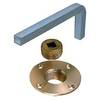
0124000Plb Plug Garboard Drain Bronze
-
Cat6a Ethernet Cable | 2ft | Orange | Network | 10 Gigabit
-
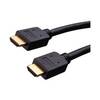
Vanco Installer Series High Speed - Video / audio / network cable - Male 19 pin HDMI Type A to M 19 pin HDMI Type A
-
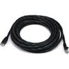
20ft 24AWG Cat5e 350MHz UTP Bare Copper Ethernet Network Cable - Black
-
F50Mlp-Ss 50A 125V Plug (M)
-
Guest 729830-P Second Station Kit