MapSource BlueChart - Southeast Caribbean - Maps
Model: Brand: Garmin
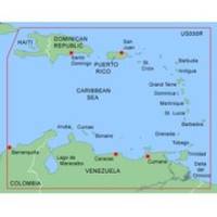
MapSource BlueChart is Garmin's exclusive marine cartography and was developed to provide you with mapping flexibility and options you've never had before. This line of cartography products is designed to provide interactive viewing of detailed nautical chart data, thereby providing navigators with innovative object-oriented cartography. These detailed electronic nautical charts look just like paper charts when displayed on your Garmin chartplotter. Features include shading between depth contours, spot soundings, navaids, port plans, wrecks, obstructions, inter-tidal zones, and more. BlueChart offers much larger coverage areas for half the price. MapSource BlueChart Southeast Caribbean covers the Caribbean from Haiti to Trinidad & Tobago, including Puerto Rico and all of the Lesser Antilles. It also includes the Colombian and Venezuelan coasts from Barranquilla, Colombia to the mouth of the Orinoco River, including Lake Maracaibo and the Gulf of Paria. « less
Product Specification
-
General
Product Type: MapsDistribution Media: microSD Memory CardFirst Seen On Google Shopping: January 2006 -
Compatibility Information
Designed For: Garmin eTrex Legend Cx, Vista Cx Garmin GPSMAP 60CSx, 60Cx, 76CSx, 76Cx -
Universal Product Identifiers
Part Numbers: 010-C0365-00, Southeast CaribbeanGTIN: 00753759055943
Related Products
-
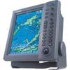
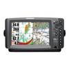
RDP150 12.1 Color LCD Radar Display
-
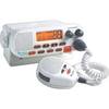
MRF45 VHF Two-way radio
-
1" Seacock Body
-
Marine World Chart of Nicolo de Canerio Januensis, Circa 1502: A Critical Study (1908) [Book]
-
Chart No. 1 Nautical Chart Symbols Abbreviations and Terms [Book]
-
E12203 SmartPilot X-5 Tiller Autopilot
-
AP2803VRF Autopilot AP28,AC12,RC42,RPU80
-
408690-1 958c HD Combo
-
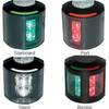
Series 43 Black LED Navigation Light Port
-
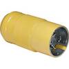
6361CRN 50 Amp 125 Volt Locking Plug
-
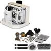
FCF9000 Kit with AC, Seawater & Ducting - 115V FCFK018A c44589
-
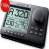
E62184-US - A50 5 Chartplotter, US Maps, Int GPS