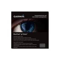
BlueChart g2 Vision - Aegean Sea and Sea of Marmara - Maps
Model: Brand: Garmin
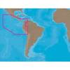
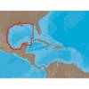
BlueChart g2 Vision offers the same rich detailed charting of BlueChart g2 to help you get the most out of your unit. In addition, g2 Vision features a growing database of high-resolution satellite imagery, above and below the water 3D perspective, auto guidance technology, aerial photographs for real world reference and coastal roads with points of interest. This product features coverage of all of the Greek coast and Aegean Sea; Turkey from Istanbul and Sea of Marmara to Antalya; and Brindisi, Italy. « less
Product Specification
-
General
Product Type: MapsDistribution Media: SD Memory CardFirst Seen On Google Shopping: June 2007 -
Compatibility Information
Designed For: Garmin GPSMAP 4008, 4012, 420, 4208, 420s, 4212, 430, 430s, 430sx, 430x, 440, 440s, 440sx, 440x, 450, 5008, 5012, 520, 5208, 520s, 5212, 525, 525s, 530, 530s, 535, 535s, 540, 540s, 545, 545s, 550, 550s, 555, 555s -
Universal Product Identifiers
Part Numbers: 010-C0773-00, Aegean Sea and Sea of MarmaraGTIN: 00753759069537
Related Products
-
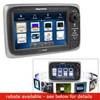
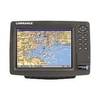
e7D 7" Multifunction with Sonar and Canadian Charts T70009
-
CH250BB/150/340 150 kHz Black Box Searchlight Sonar System. Includes 400mm Travel Hoist and Operates at 24 & 32VDC
-
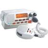
MRF45 VHF Two-way radio
-
SA-C001 C-Card Format - Peru - P. Vallarta P. Bolivar
-
NA-C402 Furuno FP Format Pensacola Bay Gulf
-
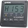
SP110RF-3 System with Rudder Feedback and Type S Mechanical Das
-
Accuform Signs MLMR128GE NOTICE Sign, 6 x 6In, GRN/Glow Wht, SYM, IMO
-
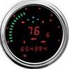
2000 Series Tank Mount Instrument Replacement - 4-1/2 Inch Speedometer/Tachometer with Direct ECM Plug-in for Harley Davidson Road King 2004-2012 / Softail 2004-2010 - Red - MCL-2004-R
-
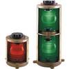
Double Lens, 360� Navigation Lights, 120V Volts, White
-
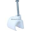
Hook Cable Clips with Steel Nail, 15mm, 100pcs/Pack
-
Trident Marine LPG Propane Gas Remote Regulator Connector
-
GlobalMap 8200C - Marine GPS receiver - 8.4" color - 600 x 800