Fish-N-Map 8263; Map-Lake Shasta
Model: 8263 Brand:
FISH-N-MAP UNDERWATER TOPOGRAPHY MAPSMade of waterproof, tear resistant plastic. Features include: underwater depth contours, fish locations, latitude and longitude for GPS, multiple freshwater lakes on one map, boat ramps, recreational facilities and much more.
Product Specification
-
Universal Product Identifiers
Part Numbers: 234990, 8263, MSI431890GTIN: 00761428082633
Related Products
-
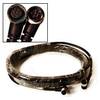
NMEA 2000 Micro Cable, 6M, Single Ended
-
Inc ETS035936 Computer Hardware
-
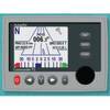
Commander Color Display with SSRC1 Rate Gyro Compass & Linear Feedback 10110035
-
CP450C ClearPulse Chirp Sonar Sounder Module
-
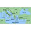
MapSource BlueChart - Adriatic Sea, South Coast - Maps
-
Marine World Chart of Nicolo De Canerio Januensis 1502: A Critical Study [Book]
-
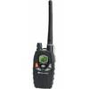
MID-NAUTICO1VP Marine Radio Nuatico 1VP
-
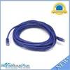
25ft 24AWG Cat5e 350MHz UTP Bare Copper Ethernet Network Cable - Purple
-
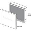
Suncovers for G Series Marine Displays G190 9717661
-
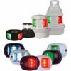
Series 32 LED Navigation Lights Black Housing
-
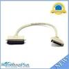
743 HPDB50 M/CN50 M SCSI Cable , 25pr - 1.5ft
-
100ft 24AWG Cat6 550mhz UTP Ethernet Bare Copper Network Cable - Gray