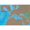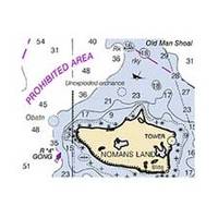
Hecate Strait-Etollin Island Chart
Dept. of Commerce - 17420; NOAA nautical charts Encompasses the southern part of Southeast Alaska Note: Ensure that your charts are kept current to reflect changes to that area
Product Specification
-
Universal Product Identifiers
Part Number: 17420
Related Products
-
Hi 920011 RS232 Cable for PC Connection
-
AP5009 Autopilot with AP50, J50, Rudder Feedback RF300, HLD350
-
ME-C005 Furuno FP Format - Caspian Sea
-
Marine World Chart of Nicolo De Canerio Januensis 1502: A Critical Study [Book]
-
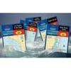
Waterproof Chart Kit - Cape Ann Mass. to Portalnd, Maine
-
010-C0767-10 Bluechart G2 HEU009RPortugal & Northwest Spain
-
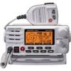
80dB Class D Fixed Mount VHF Radio Integrated AIS Receiver White
-
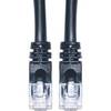
Cat6a Ethernet Cable | 2ft | Black | Network | 10 Gigabit
-
Power Heavy Duty Docking Replacement Light Only, Black, 12V
-
010-10742-00 Control Area Network (Can) Kit
-
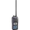
M24 Handheld VHF Radio cw-41172
-
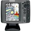
700 Series 787c2 Combo - Marine Chartplotter - 5" color - 640 x 480