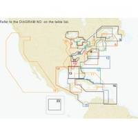
St. Lucie Inlet to Lake Pontchartrain: NT+ Wide Coverage by C-Map
NT+ charts use C-Map's Guardian Technology that scans the chart area you choose in front of your vessel & sets off an alarm if you come upon shoals, rocks, sand spits or other areas that pose a threat to you & your boat. NT+ electronic charts are reverse compatible with NT charting systems but with four times the coverage. C-Map creates their object oriented NT+ charts from official paper charts & adds features paper chart can't match. NT+ charts are object oriented, vector charts faithful reproduced from official paper charts. NT+ charts include all the information from raster & simple vector charts without dilution or any manipulation of chart data or odd scaling. These charts provide seamless coverage allowing smooth panning between coverage layers of any given navigation area. Guardian then signals an alarm when boat enters the area predetermined by the user. NT+ Charts provide tidal information for primary tidal stations worldwide & secondary tidal stations in the U.S. NT+ charts give you North-up or Chart-up view options. The NavAids are presented in detailed, true color paper chart appearance. They are accurate to the best of C-Map's knowledge and any inconsistencies found are generally due to undetectable limitations in the HO charts themselves. Where due, Royalty Charges are included in C-CARD prices and paid to National Hydrographic Authorities. « less
Product Specification
-
Universal Product Identifiers
Part Number: NA-C401
Related Products
-
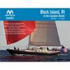
PAPR07; Region 7 Paper Chart Kit
-
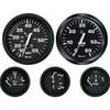
KT9796 Euro 4-Gauge Set (Speed Tach Fuel Volt)
-
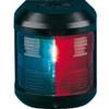
Navigation Light for Bulk Head mounting, Port
-
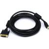
15ft HDMI to DVI Cable HDMI DVI Cord
-
A06028 - SeaTalk NG T-Piece
-
5266CR 15A 125V 2P 3W SB Plug CR
-
Flush Mount Utility Light 401510-1 Threaded Mount 25-1527
-
DM-LTB-100 Light Bar for Dual Mounts
-
5 Inch Power Mount Forward Lean Universal Mount with Light Bracket Option PMF-5U-7L (PMF-57-M1 + ADA-R1) wpmf5u7l
-
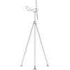
Mounting Kit for Wind Turbines - Marine Applications, Model#
-
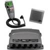
0100075700 VHF 300 AIS
-
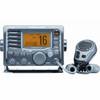
M504 Grey VHF Radio