BlueChart g2 Vision - Anchorage to Juneau - Maps
Model: Brand: Garmin
BlueChart g2 Vision offers the same rich detailed charting of BlueChart g2 to help you get the most out of your unit. In addition, g2 Vision features a growing database of high-resolution satellite imagery, above and below the water 3D perspective, auto guidance technology, aerial photographs for real world reference and coastal roads with points of interest. This product features detailed coverage from Juneau to Alinchak Bay includes Kodiak Island, Cook Inlet, Prince William Sound, Yakutat, Glacier Bay and Icy Strait. « less
Product Specification
-
General
Distribution Media: SD Memory CardFirst Seen On Google Shopping: May 2007Product Type: Maps -
Compatibility Information
Designed For: Garmin GPSMAP 4008, 4012, 420, 4208, 420s, 4212, 430, 430s, 430sx, 430x, 440, 440s, 440sx, 440x, 450, 5008, 5012, 520, 5208, 520s, 5212, 525, 525s, 530, 530s, 535, 535s, 540, 540s, 545, 545s, 550, 550s, 555, 555s -
Universal Product Identifiers
Part Numbers: 010-C0726-00, Anchorage to JuneauGTIN: 00753759069063
Related Products
-
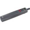
Tiller Autopilot St-1000+ A12004
-
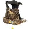
4430Mx4-00-000 4430 Inf PFD Sprtmn Chstpk MX4
-
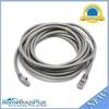
14ft 24AWG Cat6 500mhz Crossover Ethernet Bare Copper Network Cable - Gray
-
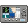
EC7IF Chartplotter w/Internal Antenna & Fishfinder Tan / Red
-
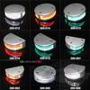
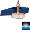
200-015 - 360 Degree Green - LED Navigation Light
-
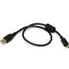
1.5ft USB 2.0 A Male to Mini-B 4pin Male 28/24AWG Cable w/ Ferrite Core (Gold Plated)
-
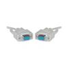
Serial cable - (DB-9) - F - 25 ft - PC
-
408890-1 898c HD Si Combo
-
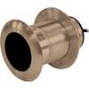
B117-DO-2 600W Thru Hull Transducer Autohelm 2-Pin Connector
-
B260-HB 1kW Thru-Hull Transducer Humminbird #9 Connector
-
Light Bar with Perko 1197 Anchor Light LTB100 (LTB-R + LTBP-1197)
-
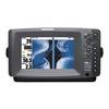
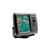
GPSMAP 525 - Marine GPS receiver - 5" color - 640 x 480